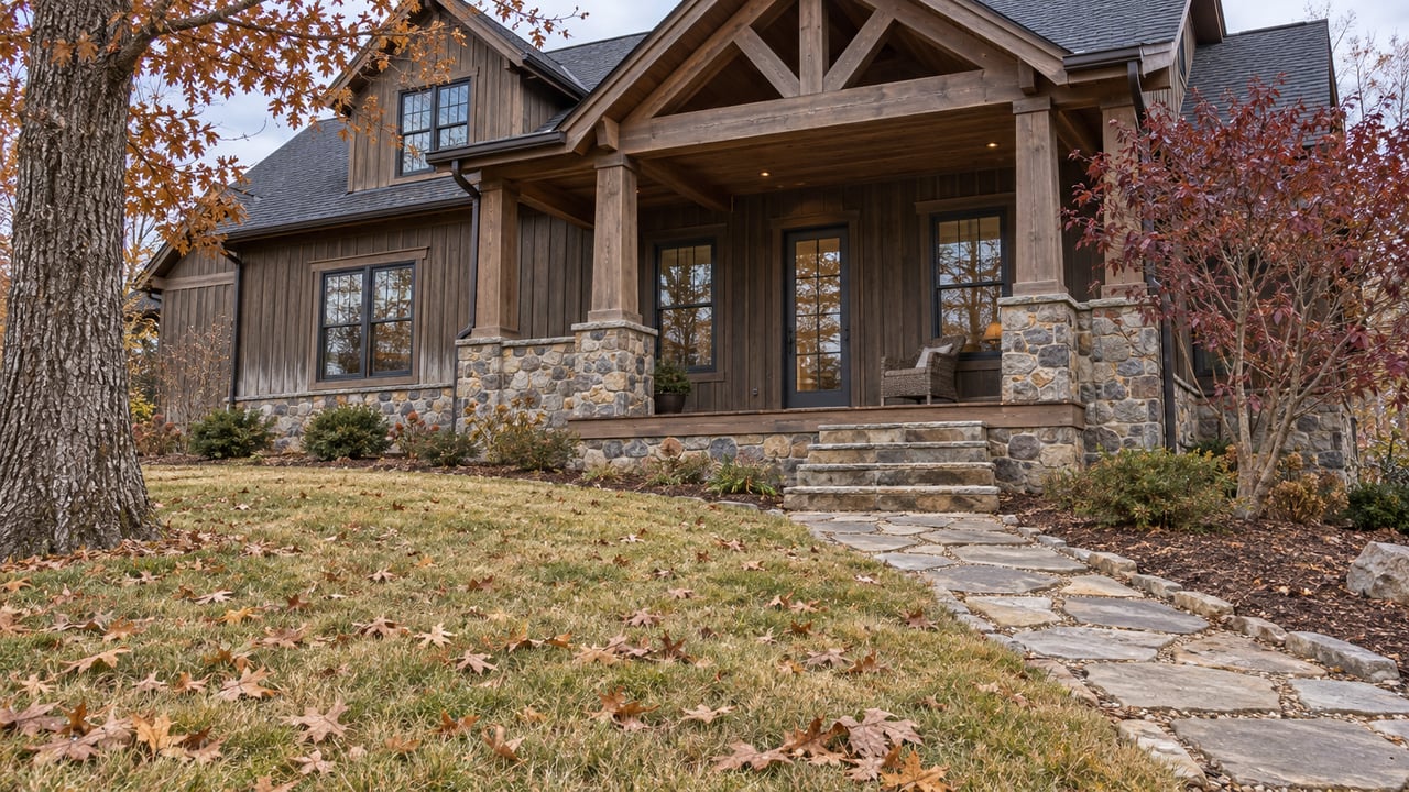
Lake Nottely Drops Twice As Far As Chatuge. A Winter Showing Tells You Which Docks Still Reach Water.
November 5, 2026
November 5, 2026
On a Lake Nottely waterfront lot, the dock you buy is close to the dock you will keep. When the land under a permitted dock changes hands, TVA's Section 26a regulations require the new owner to notify TVA within 60 days. Once the new owner applies to TVA, they can keep using the dock while TVA decides whether to reissue the permit. Later owners don't have to change a dock that was built to the standards in force when it was first permitted, as long as it is kept in good repair. Any repair that changes its size or structure, and any new construction, needs TVA approval.
So the dock's location, length and footprint come with the deed, and changing any of them means a new conversation with TVA. That makes the next five months unusually useful for anyone shopping Nottely shoreline, because Nottely in winter looks very different from Nottely in a July listing photo.
TVA says that in a normal-rainfall year, Nottely's water level varies about 20 feet from summer to winter to provide seasonal flood storage. For Lake Chatuge, the reservoir on the Towns County and Clay County side of the mountains, TVA puts the swing at about 10 feet. Two TVA lakes about a half hour apart behave very differently each winter, and a buyer comparing the two is comparing more than water clarity and view corridors.
This year's drawdown is already well along. On Nov. 2, 2026, LakeLvl's Nottely page, which shows provisional TVA data, listed the lake at 1,762.64 feet, 16.36 feet below the 1,779-foot full pool it lists. The same page lists a Jan. 1 flood-guide elevation of 1,762 feet. That puts the early-November reading within a foot of where the lake is supposed to sit at the start of the year.
The timing follows TVA's published pattern for tributary reservoirs. TVA explains that drawdowns speed up after Labor Day weekend, that the lakes are typically at or below their winter flood-guide levels by Jan. 1, and that aggressive filling begins in mid-March. From now until spring, the shoreline in front of any Nottely property is at or near the lowest it gets all year. Every dock on the lake is showing its winter position right now.
The natural reaction to a dock sitting on clay in December is to plan a longer walkway. TVA's rules for docks put a ceiling on that idea. In Section 1304.204, TVA states:
Docks and walkway(s) shall not extend more than 150 feet from the shoreline, or more than one-third the distance to the opposite shoreline, whichever is less.
The one-third rule is the one that tends to matter in a cove. A narrow arm of the lake can cap a dock well short of 150 feet, and if the deeper water lies beyond that point, no permit will reach it. The same section says that where conditions at a site rule out a maximum-size structure, TVA decides what size it will approve. Footprint has limits too. Residential water-use facilities are generally capped at 1,000 square feet. The cap rises to 1,800 square feet in areas of preexisting development, which TVA defines by whether it permitted a facility in that subdivision, or within a quarter mile, before Nov. 1, 1999.
Digging out a deeper channel is the other possible fix, and TVA's rules for channel excavation on TVA-owned residential access shoreland are narrow:
The third item shows how TVA thinks about the problem. The standard it uses is depth at minimum winter elevation. TVA measures a channel against the lake you can walk out and look at this month.
Owners can see what the drawdown does without walking anyone's private lot. At Union County's Deavers Town ramp, a community directory at Nottely USLakes describes the courtesy dock as one of the nicer ones on the lake. That directory listing, last updated in 2013, says the dock is usable only during the high-water season of May through September, or above about 1,774 feet. Against the early-November reading, that threshold is more than 11 feet above the water.
Nottely Marina advertises a full concrete ramp that it says is usable year-round, with a courtesy dock beside it. The marina also says that "courtesy docks, as well as all other docks, will have a very steep incline during the off season," and a $125 full-year ramp pass, or a slip, is required to use that ramp. The marina offers winter-only storage from November through March for current storage customers, and says boats stored for the winter cannot be accessed. A private dock follows the same physics as the marina's: as the water drops, the gangway to a floating dock gets steeper.
The campground has closed too. Union County lists the Poteete Creek Campground season as April 1 through Oct. 15.
The exposed banks matter as well. In its Oct. 16, 2026 fishing report, Georgia DNR said it had recently planted 600 native water-willow plants on Nottely and more than 1,200 native plants there so far in 2026 with local partners, and listed bank stabilization and less erosion among the benefits. On a lake whose edge moves this far each year, the strip between high and low water does real work.
How much a new owner can do along that exposed strip depends on who owns it, and TVA recognizes two very different situations. TVA defines flowage easement shoreland as privately owned land that TVA has the right to flood. TVA property is land owned by the United States and under TVA's custody and control.
On TVA-owned residential access shoreland, access is for qualifying adjacent residents. Individual landowners need TVA permission before they build, clear vegetation or maintain an access path. That access corridor can be up to 20 feet wide. A 50-foot shoreline management zone generally rules out cutting trees and removing vegetation, apart from preapproved work within the corridor. A buyer imagining a cleared path down to a longer dock is imagining work that, on this kind of shoreline, needs TVA's approval before any of it starts.
TVA's Nottely Reservoir Land Management Plan divides TVA's reservoir property into 42 parcels with land-use zones, and links to a GIS map. TVA notes that the parcel descriptions reflect when the plan was written and that some information may be out of date. TVA also warns that a permit "conveys no property interest," and that it is the applicant's job to establish the land rights. A dock permit and a deed answer different questions, and on Nottely both get settled before closing.
A winter showing on Nottely gives you facts a summer showing hides. You can see the following from the end of the walkway:
Once TVA begins aggressive filling in mid-March, these clues go back under the water until next fall. The TVA rules quoted here are general information, not legal advice. For a specific parcel, permit or shoreline question, confirm the details with TVA and a qualified real estate attorney.
If you're comparing Lake Nottely and Lake Chatuge lots this winter and want to walk the shoreline at low pool before you commit, Karyn Woody can help you line up showings, pull together the dock and shoreline questions for each property, and work through them with you. Schedule a consultation, or request a free home valuation if you own on Nottely and want to know how your dock shows in winter.
As a full-time Real Estate Agent, wife, mom, and barrel racer, Karyn balances her dynamic life with a steady commitment to her clients. With Karyn, you get more than an agent—you get an advocate.