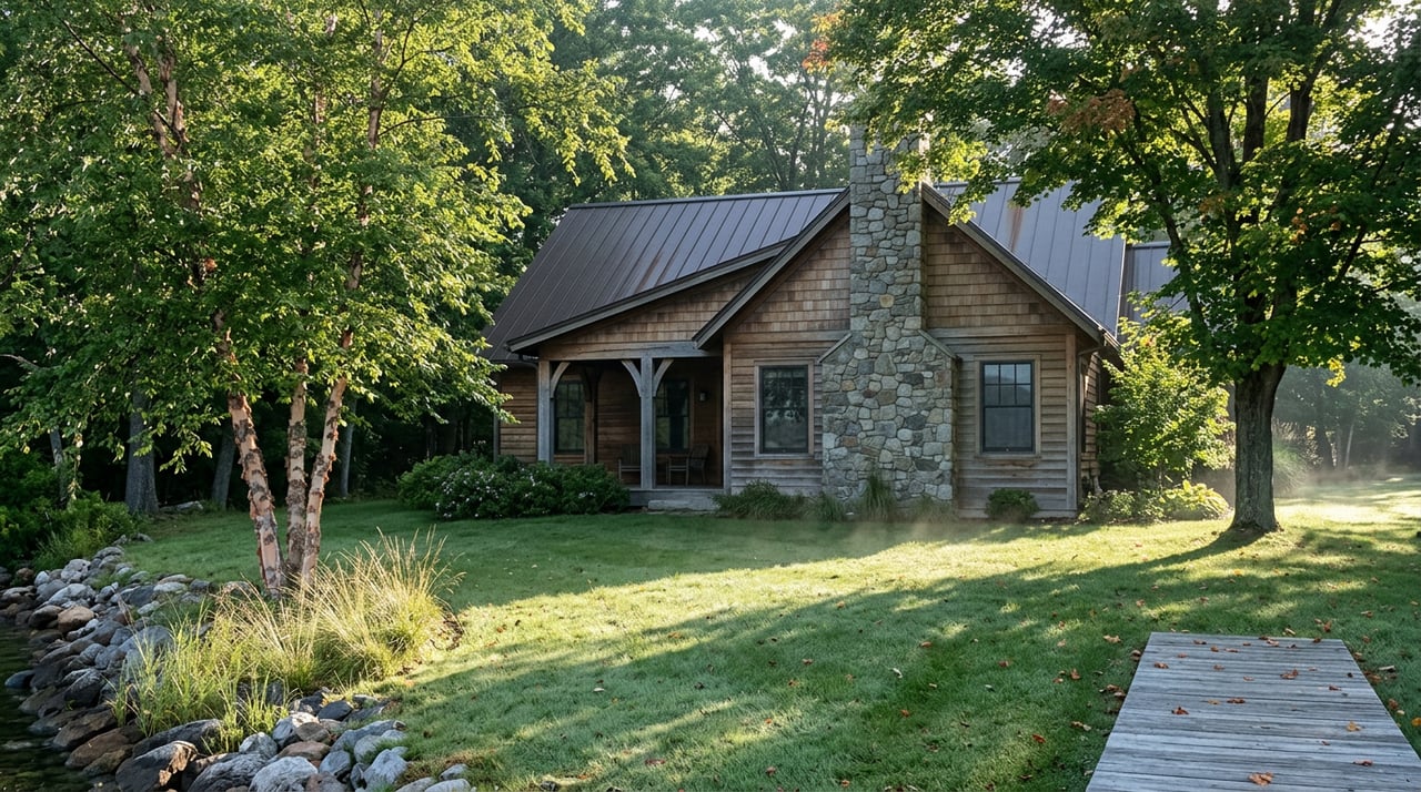
The Two Trails At The Nottely Dam Aren't The Same Walk
September 17, 2026
September 17, 2026
Pull off at either parking area on Nottely Dam Road and you'll find two trailheads pointing in different directions, both promising an easy afternoon by the water. That's the part every tourism site gets right and also the part that trips people up. The Nottely Dam Trail and the Nottely Tailwater Trail sit on the same TVA reservation, share a couple of access points, and get lumped together in write-ups as if they're interchangeable moderate walks. They aren't. One is a 2.5-mile figure-eight through the woods with real climbing built into it. The other is a flat mile that follows a creek downhill to a picnic table. Pick the wrong one for the day you're having and you'll either overshoot a quick unwind or underestimate what you signed up for.
If you've lived on or near Lake Nottely for a while, you've probably already made that mistake once. This is the version of the guide that keeps you from making it twice.
Both trails start from parking areas along State Route 325, about nine miles north of Blairsville, on the Nottely Dam Reservation. That proximity is exactly why people default to whichever trailhead they see first and assume they're getting the same experience either way. TVA's own trail listings draw the distinction clearly: the Dam Trail is rated moderate, the Tailwater Trail is rated for an easier grade, and they don't share a route past the first quarter mile.
The habit worth breaking is treating "the trail by the dam" as one thing. It's two things, and the difference shows up about ten minutes in.
The Nottely Dam Trail runs as a constant grade, uphill or downhill depending on which end you start from, and forms a figure eight mostly through the woods with sections that come out along the shoreline. TVA's official listing puts it at a 2.5-mile loop, though if you're tracking it on a phone app, don't be surprised if the number reads closer to 2.6 or 2.7 miles. Crowdsourced trail trackers rarely match the agency's own measurement exactly, and that's normal, not a sign you took a wrong turn.
The Nottely Tailwater Trail is a different kind of walk entirely. It's a mile long, follows the creek at an easy grade the whole way, and ends at a picnic area beside the Nottely River below the dam. Hikers can loop back using the access road, but most people just walk out and back the way they came. There's no real elevation to speak of and no shoreline exposure. It's the trail you take when you want the sound of moving water and twenty minutes to yourself, not a workout.
Trail leash rules seem to vary depending on which listing you check, with some marking the Tailwater Trail as off-leash friendly in spots and the Dam Trail loop requiring a leash throughout. Bring one regardless. It's the simplest way to avoid finding out the hard way which rule applies where.
The wildlife along both trails is the kind of detail that doesn't show up until you've walked them a few times. TVA's trail notes mention wild turkeys and white-tailed deer as regular sightings on the Dam Trail loop, and in spring, keep an eye out along the wooded sections for the pink lady's-slipper, a native orchid that needs acidic soil to grow and isn't something you'll spot everywhere in the county. September is past its bloom window, so that one's a note for next spring rather than this month.
What is happening on the water right now is worth knowing if you take the shoreline stretch of the Dam Trail. According to Georgia Outdoor News's September 2026 fishing report, stripers and hybrids have been firing off in the early morning on the lower end of the lake, from Hyatt Bend down toward the dam, with anglers reporting double-digit mornings using spoons, jigs, and trolled bait. The report notes the bite should hold steady until the lake turns over for the season, which hasn't happened yet. If you're out on the Dam Trail's shoreline section in the early hours, don't be surprised to see boats working that stretch of water hard.
Here's a detail that doesn't show up on the trailhead signs. AllTrails lists a defined visiting window for the Tailwater Trail, June through October, while the longer Dam Trail loop carries a much wider window, February through December. In practice that means the creek walk is heading into its last few weeks of the rated season right now, while the shoreline loop stays a reasonable option clear through the fall and into early winter.
If you've been meaning to walk the Tailwater Trail before the year turns, mid-September is closer to the end of that window than the middle of it. The Dam Trail isn't in any hurry.
If a mile or two isn't enough to round out the morning, Poteete Creek Park sits nearby as the natural next stop. The Union County Recreation Department runs it as a campground with 59 sites, open April 1 through October 15, alongside a boat ramp, picnic tables, a bathhouse, and a swimming beach. Access to the beach and boat ramp runs through a $5 day-use parking pass, which covers the whole area for the day. With the campground season closing out in mid-October, this is close to the last stretch of the year you'll have the full run of it, swim beach included, before it shuts down until spring.
Between the two dam trails and Poteete Creek, you've got a genuine variety of ways to spend a morning here, from a flat mile beside a creek to a real climbing loop to an afternoon at a swim beach, all inside a fifteen-minute drive of each other.
A short list worth keeping in your head or your glovebox:
Most of what makes Lake Nottely worth walking isn't in the mileage or the difficulty rating. It's knowing which trail matches the morning you actually want, and that's the kind of thing you only learn by living here long enough to walk both.
If you're weighing a move to this side of the lake, or thinking about what your own shoreline access looks like this time of year, Karyn Woody has spent two decades getting to know these trails, these coves, and the properties tucked along them. Reach out to request a free home valuation or schedule a consultation whenever you're ready to talk specifics.
As a full-time Real Estate Agent, wife, mom, and barrel racer, Karyn balances her dynamic life with a steady commitment to her clients. With Karyn, you get more than an agent—you get an advocate.